 |
| Weir in Lathkill Dale. |
A very different walk to any other I have really done before, but no less enjoyable. We had decided to check out (in my opinion), one of the best monuments in the Peak District and take in some lovely woodland scenery this time around. It was a nice change of pace, and scenery; and was impressively full of signs of days gone by. In case you hadn't figured it out from my other blog entries - I do like a good bit of background/historical context.
This walk was a good chance to properly test the
View Ranger app on my smartphone. Basically, it is a gps that track and map your walk on a variety of maps, including official OS maps. It records such information as; distance, ascent, speed, overall time etc. It is very accurate, at least to within a few metres but I can't remember the official figure. It can be used as a navigation device, although my use for it is solely to map where I have walked and having a pictoral representation of it on a map as below.
This is the route that we took on the day. Im not sure why 'Blogger' has forced me to leave such a large space between the bottom of the image and the start of a new paragraph. Also, I did forget to turn the gps on for a little while so that is the reason for the start and end points being different. It is a very useful app all in all. Im not big into technology these days, and I wouldnt ever rely on it as my sole method of navigation - but it does a cracking job. It's very accurate, and maps very well. It may allow me to cut some of the masses of text in my write ups from now on.
Anyway...
I have been struggling recently with finding adequete time in which to write full entries as I had been doing, and so have made the decision to shorten my posts for the time being. I will try and explain the route as best I can and will always mention anything interesting that happens along the way. I'm thinking that my camping posts will hold more than my walking posts still, but keep an eye out nonetheless for posts that I manage to get done.
 |
| The River Bradford. |
 |
| Old building in Bradford Dale. |
 |
| Bradford Dale. |
 |
| One of many interesting word carvings/engravings in the area. |
 |
| Bateman's Tomb. |
 |
| Arbor Low. |
 |
| Stones at Arbor Low. |
 |
| Sign at the entrance of Lathkill Dale. |
 |
| Cave in Lathkill Dale. |
 |
| River Lathkill. |
 |
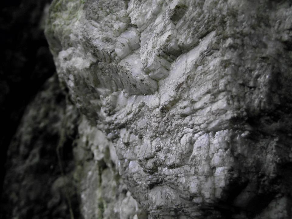
| Its easy to see why the area is called The White Peak. |
 |
| The rock is definitely different to that of The Dark Peak. |
 |
| Fallen tree in Lathkill Dale. |
 |
| Weir in Lathkill Dale. |
 |
| Sign on the outside of Bateman's House. |
 |
| Bateman's House. |
 |
| Bateman's House. |


No comments:
Post a Comment